How Drone Photography Can Help Sell A Home

Photography is key when selling any property. Professional pictures are the best way to show off your home’s features and immediately grab buyers’ attention. But, depending on the type of property you have, traditional photos may not be adequate. More and more, sellers and their REALTORS® are using drone photography to take their marketing to the next level.
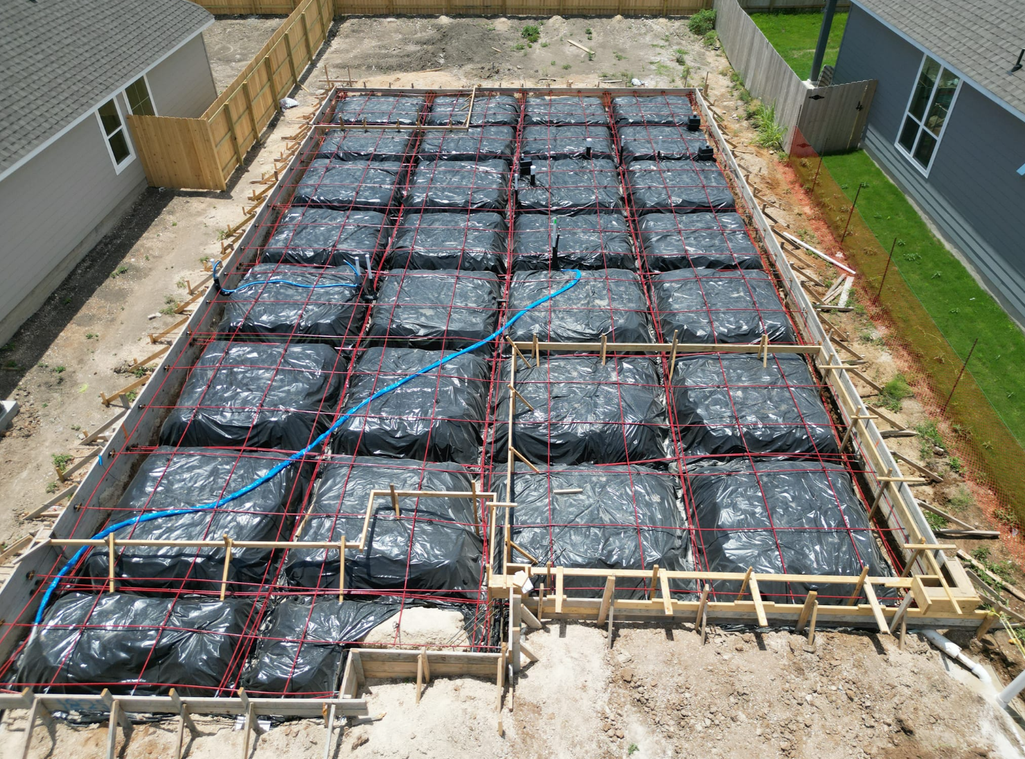
An aerial shot of a property, as opposed to a simple street-level shot, can give depth and dimension, and also provide a view of a home’s surroundings – a backyard pool, a nearby creek, a neighborhood park, etc. With a drone, you have a virtual tripod that you can use to get camera shots at unique heights and angles.
Prior to the use of drones, aerial shots were only possible by hiring a helicopter, which is not only time consuming, but also very cost prohibitive. Now, it’s possible for a licensed remote pilot to easily capture aerial pictures and videos and send them to an agent’s inbox in just a few hours. Prices vary depending on the project, but aerial packages for small residential properties typically range from $100-$500.
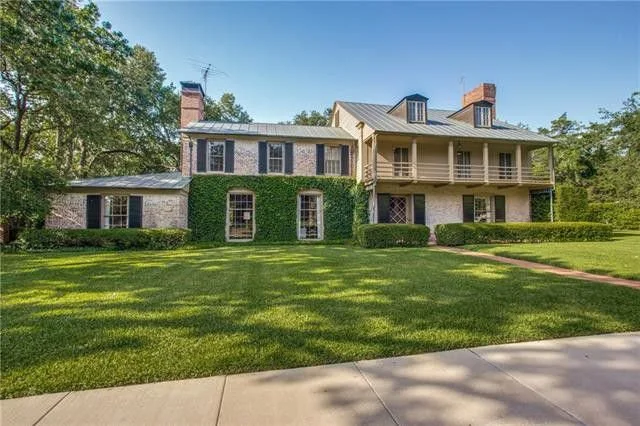
This technology is becoming increasingly popular and is almost expected on large, unique properties and higher end homes. If a property sits on a large parcel of land, or has a barn, farmlands, outbuildings, a pool, etc… details can get lost with the limitations of standard photography.
In addition to this, drone photography can often provide sweeping views to give potential buyers great perspective of how a home is positioned in relation to desired amenities, nearby schools and landmarks.
While anyone can purchase a drone online, there is much more to getting great real estate footage. For best results, REALTORS® should hire local professionals who are licensed to fly drones, are insured, and have experience with shooting and editing aerial photography. There are strict rules and regulations to consider, so working with a professional is critical.
Today’s buyers are more interested in pictures and video, They don’t want to read about a home’s features, they want to see them. As they say, you only get one chance to make that first impression, and professional photography and drone technology can give you that edge.
Drone Land Survey Accuracy
Modern commercial drones have made mapping any area or an object a matter of few minutes or hours, instead of the typical days or weeks it used to take before. A small commercial drone can now let a qualified operator achieve survey-grade accuracy in a photogrammetric map or 3D model.
But just how accurate can these surveys be? How is accuracy defined and measured in these drone based aerial surveys?
SURVEY ACCURACY VS. PIXEL SIZE
One of the most important parameters of a survey is the spatial resolution. Spatial resolution is described as GSD (Ground Sampling Distance). In literature, it is defined as the distance between two consecutive pixel centers measured on the ground. In practice, it is simply the size of the pixel in the field.
The GSD depends on the parameters of the camera being used (mainly camera resolution and focal length) and the flight altitude. For example, to achieve 1 cm (3 inches) pixel size using a smaller professional drone like the DJI Phantom 3 Professional or DJI Mavic Professional, you will need to fly at an altitude of 25 m. Using a larger professional device like PrecisionHawk’s Lancaster 5 will let you achieve 1 cm GSD at 60m.
RELATIVE ACCURACY VS. ABSOLUTE ACCURACY
Relative accuracy is the measurement of how objects are positioned relative to each other in a reconstructed model (Orthophotomap, Digital Surface Model or 3D point cloud). Absolute accuracy refers to the difference between the location of the objects on the reconstructed model and their true position on the Earth (or a geodetic coordinate system). For most small areas and simple use cases, the relative model works just fine. It accurately measures distances, volumes and height differences and allows for operations like applying vegetation indexes to your data.
However, if professional photogrammetric survey documentation is needed, or if the data is to be combined with other data layers (e.g. GIS vector data) or do any operations with geographic coordinates in a geodetic reference system, the absolute orientation of the reconstructed model will need to be determined by using Ground Control Points or GCPs. They help to increase the accuracy of your drone survey and allow you to fit the model in a geodetic coordinate system. These points must be measured by a land surveyor using professional equipment, such as the RTK GPS or a Total Station.
WHAT RELATIVE ACCURACY CAN BE ACHIEVED IN DRONE PHOTOGRAMMETRY?
When it comes to relative accuracy (Surveys without GPCs), the literature says you can expect an error of 1-3 times the pixel size for a correctly reconstructed model, both horizontally and vertically. This means that for a 2 cm GSD, one should be able to achieve the accuracy in the range of 2-6 cm.
CONCLUSION
The accuracy requirements of any survey depend on its final application and the use case. In many cases, 30 cm (1 foot) will be more than enough, while on other projects 2 cm is the maximum acceptable error. Using a small professional drone without GPCs placed by land surveyors can still provide a highly accurate product for many standard use cases.
Texas Valor Blog:
Welcome to the Texas Valor Inspection Services Blog. Here you will find many tips, tricks, and relevant information on our services.